


Posted on: Wednesday October 7, 2015
It’s fairly obvious based on my current job and previous work experience that I love all things old. I love the smell of old books, antique furniture, and apparently historic sites.
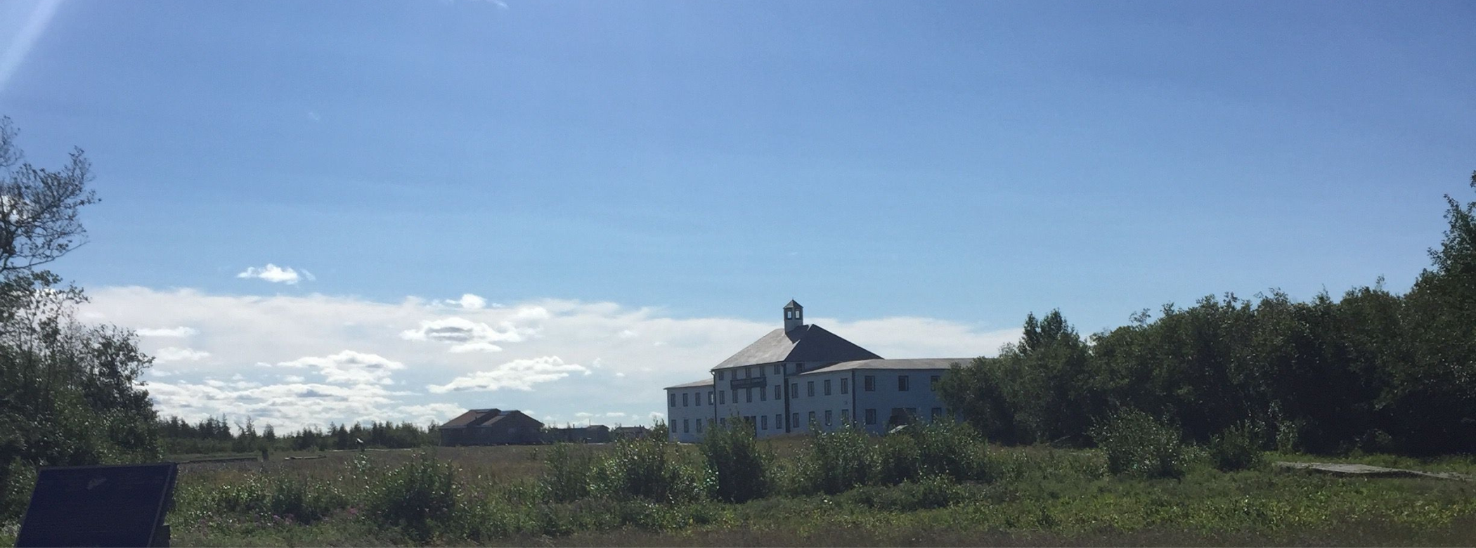
One of the goals for my recent trip to York Factory National Historic Site was to capture the site for our visitors with a videography team, but in the planning it seems I forgot about the other senses.
A lot of people have asked me about my trip and whether or not York Factory lived up to my expectations. I am happy to report that it exceeded my expectations, and in ways that I hadn’t really considered. Yes, the site is visually impressive and completely captivating but what really struck me was the smell of York Factory.
What does York Factory smell like? It smells like history! Each floor of the Depot had a different smell, and none of them bad (somewhat surprising considering that this particular structure has been standing for 177 years!). The main floor had an earthy smell, not musty but the cooler air at ground level made it feel like you were still outside.
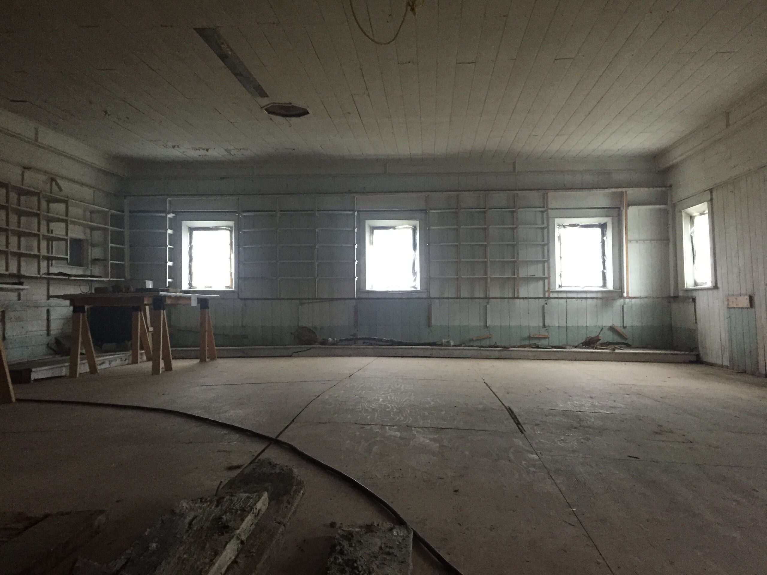
The second floor was my favourite, the wood walls seemed to glow in the sunlight and it smelled warm and cozy. The rooms on the second floor were used for storing trade goods and it’s almost as if you can smell the goods themselves. Little maps show visitors what the rooms used to contain, and my absolute favourite room apparently used to store salt, sugar, and liquor (three things I enjoy!).
Image: The saleshop (converted from storage in the 1930s).
Looking out over the tables of artifacts you can see the warm glow of the walls and all the bright light from the windows. I wish you could smell it!
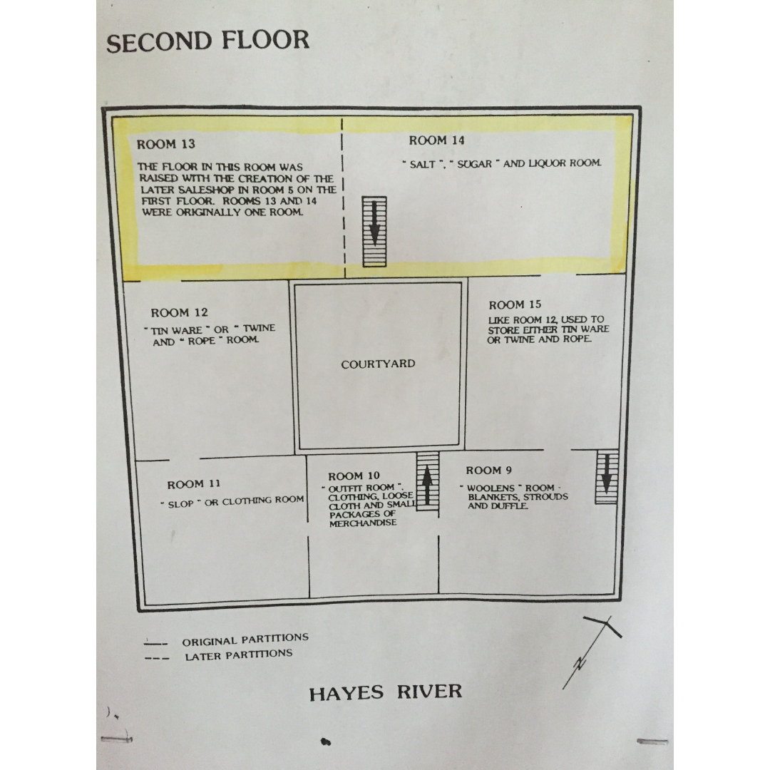
Parks Canada placed these neat maps on each floor so visitors can see each room’s purpose.
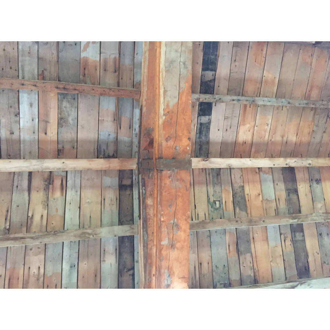
Lying on the second floor and looking up at this beautiful ceiling.
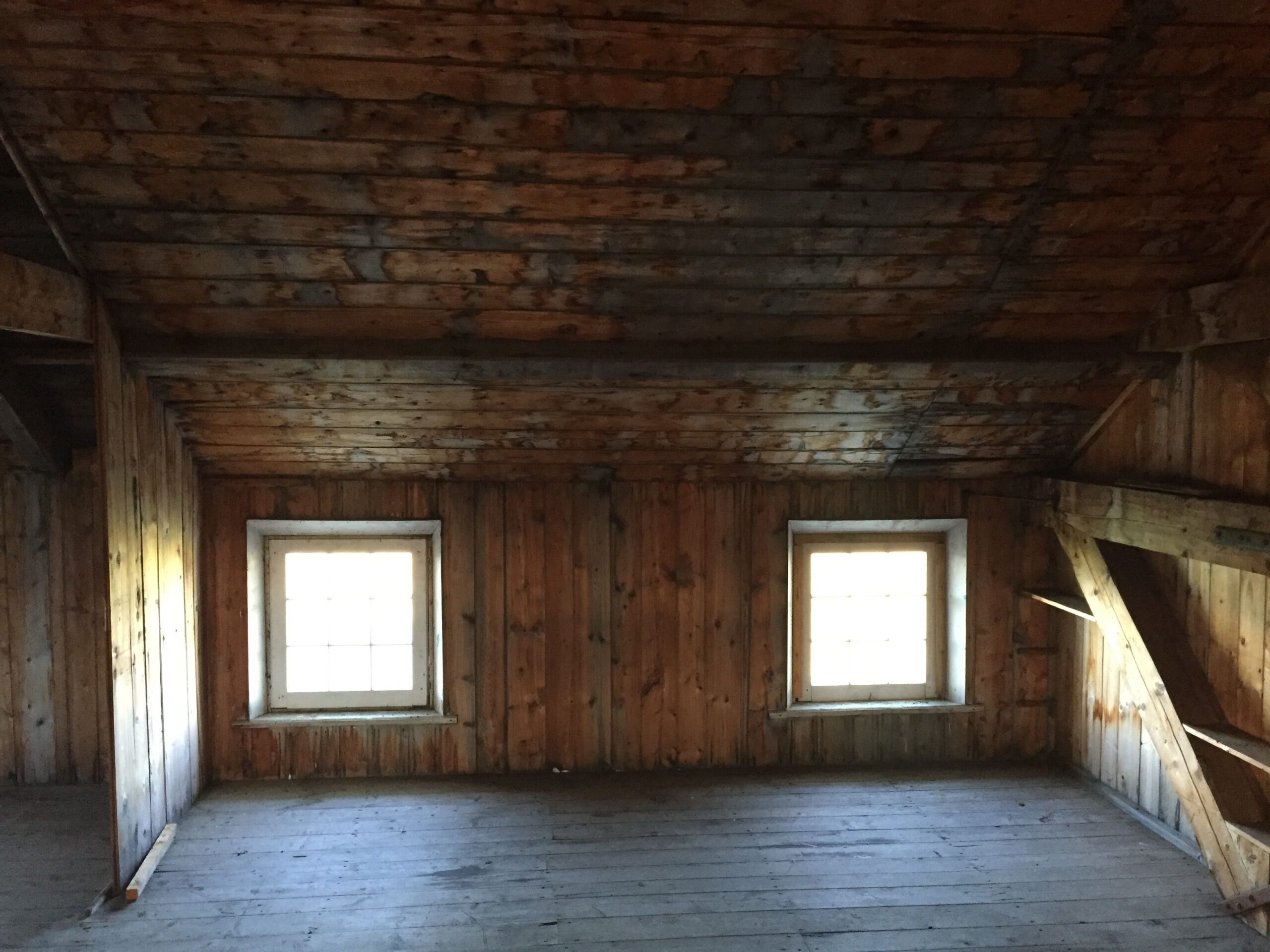
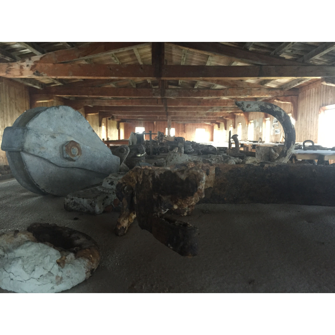
The third floor felt a bit like a cabin, but it lacked the same warm and cozy smell of the second floor. From the third floor you can head up through a small attic area and step into the cupola (a look-out on top of the depot), which might be the only part of the whole Depot that had a slightly musty scent.
So how does one describe the smell of history? It smells like years of human interaction and activity I guess. The Depot at York Factory had people moving goods in and out, and even though I am certain it was hard work and not all happy-fun times like my visit, the place just feels good. From all senses.
Image: The third floor still has that lovely glow, but it didn’t smell as wonderful as the second floor!