(Winnipeg, MB: February 3, 2022) The Manitoba Museum will honour three prominent Manitobans at its annual Tribute Gala on Thursday, April 7, 2022.
Former MLA Flor Marcelino, community organizer and speaker Michael Redhead Champagne, and University of Manitoba Chancellor Anne Mahon will share the honours at the gala event with proceeds supporting the Manitoba Museum’s Access for All community initiative.
Celebrating Communities, the theme for this year’s gala, will spotlight the value of serving and uniting our communities to build a brighter future for all Manitobans. The 2022 Tribute Gala honorees will join in conversation to share their thoughts on what “community” means to them and how we can best support and encourage each other.
“Communities working together in partnership is a powerful and beautiful force,” said Manitoba Museum CEO Dorota Blumczyńska. “At the Museum we are always asking how we can serve the community better and more effectively. Our Tribute Gala honorees are an inspiration to everyone and we are thrilled to celebrate them this year.”
The Museum will host its first in-person gala in two years following a hiatus in 2020 and an online event in 2021. The 2022 Tribute Gala is presented by Canada Life and IG Wealth Management.
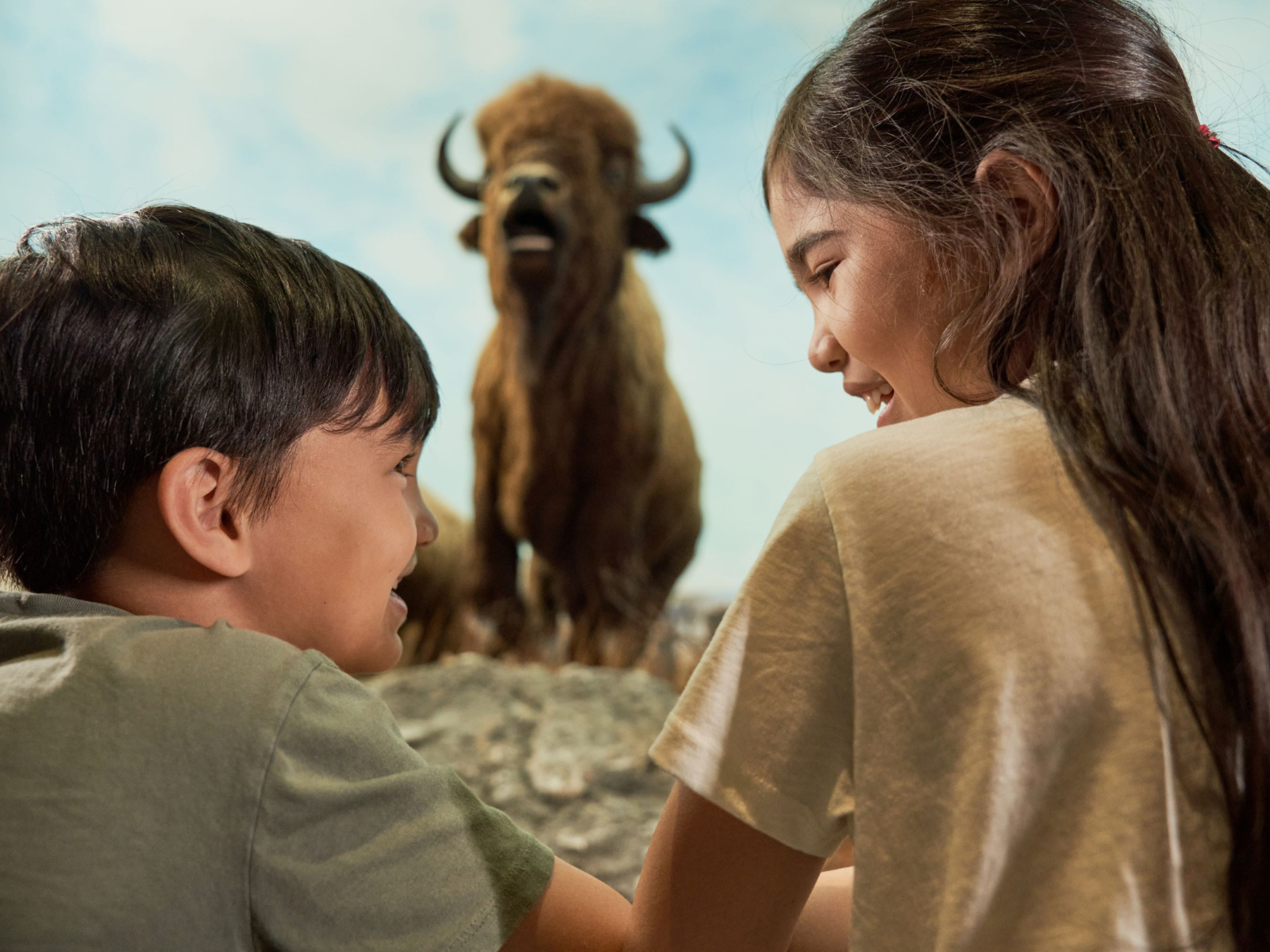
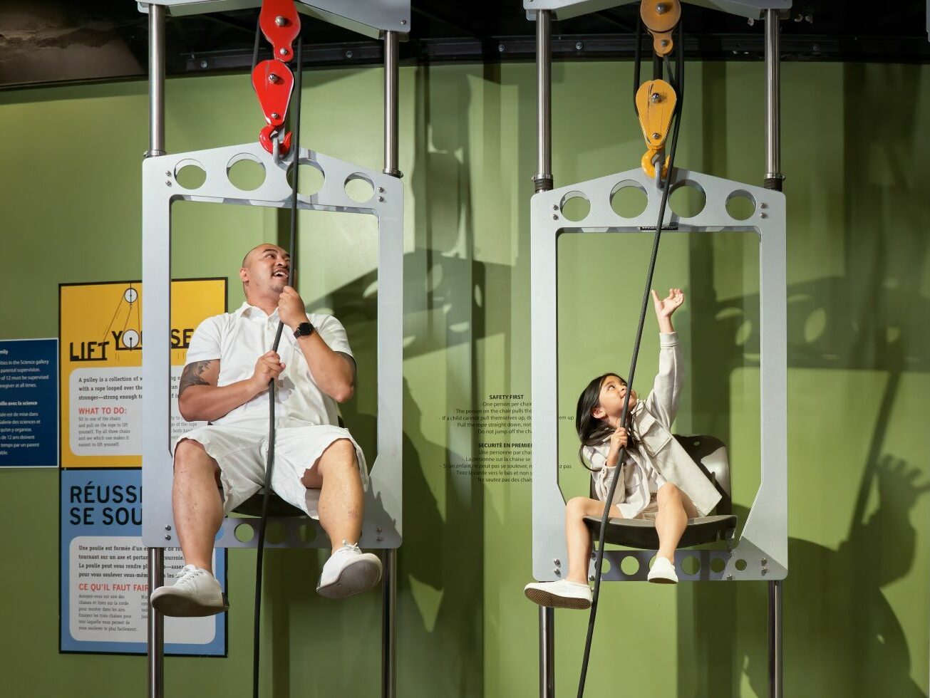
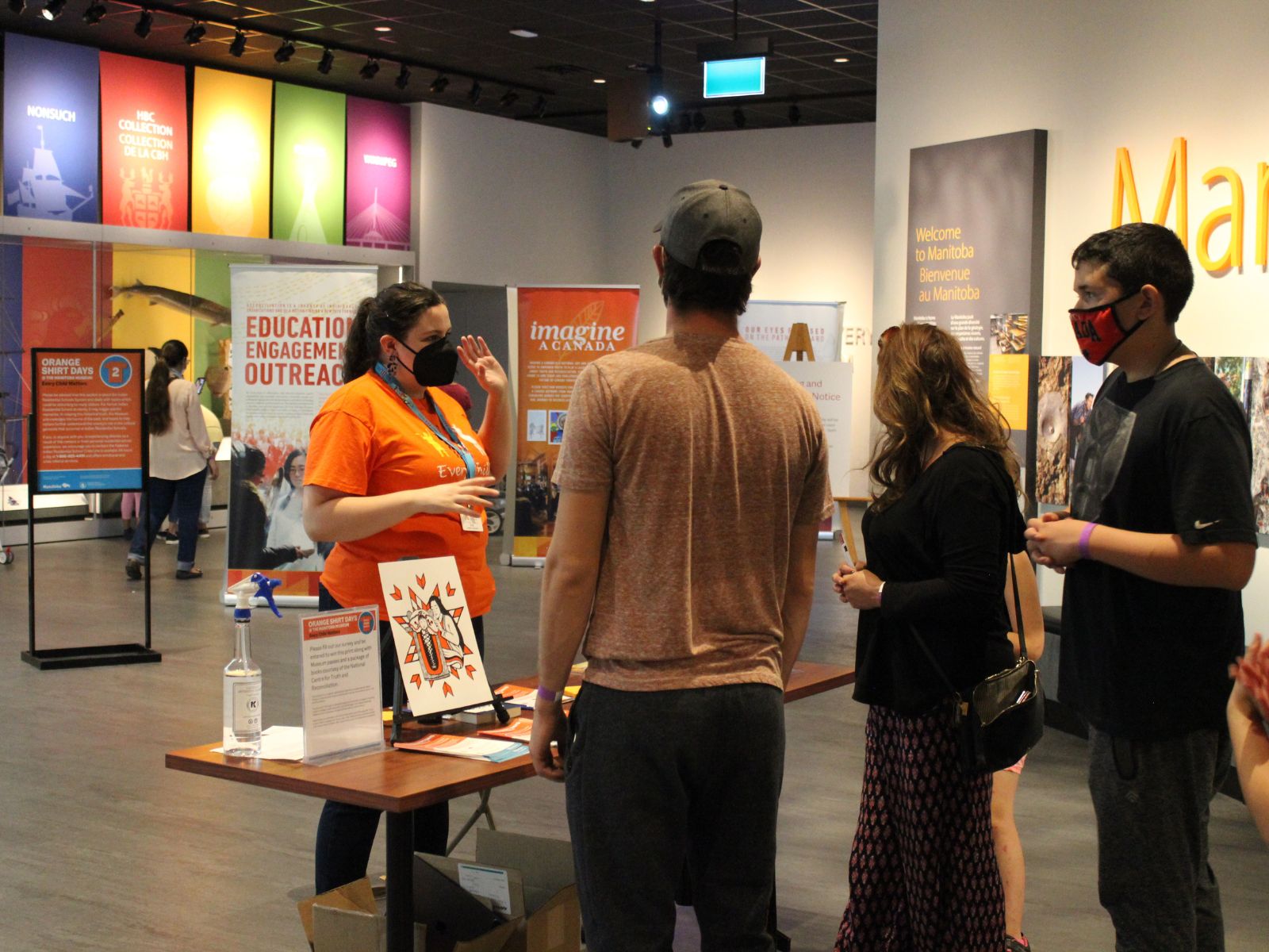
Proceeds from the Tribute Gala support the Manitoba Museum’s Access for All community initiative. Each year, thousands of people enjoy complimentary Museum admission and virtual programming. Visitors engage in memorable learning experiences and explore our essential stories, bridging language, culture, ethnicity, and age. Access for All connects to communities through three programs: Youth Access, for young people to discover the stories of Manitoba and the wonders of our natural world; Call it Home, welcoming Manitoba’s newcomers to learn about their new province; and Community Access, where families build memories together as they explore the wonders of the Manitoba Museum.
“We want everyone to experience the magic of the Manitoba Museum,” said Penny McMillan, Chair of the Manitoba Museum’s Board for Governors. “Access for All brings the stories of Manitoba to thousands of people every year. We’re so grateful for the support of everyone who donates to the Manitoba Museum. That generosity helps keep our doors open to everyone.”
2022 Tribute Gala Honorary Committee
- Gail Asper
- Dan Bockstael
- Doneta Brotchie
- Johanna Chipman
- Jessica Dumas
- Luke Gould
- Diane Gray
- Lucille Nolasco Garrido
- Raif Richardson
- Niigaan Sinclair
- Douglas Tkach
- Jackie Wild
The 17th annual Tribute Gala will take place in Alloway Hall on April 7, 2022. For information about reserving tables, buying tickets, sponsorship opportunities, and/or to make a donation to the Access for All community initiative, please visit our webpage, here, or contact Lynne Stefanchuk at 204-988-0629 or LStefanchuk@ManitobaMuseum.ca.
2022 Tribute Gala Honourees
FLOR MARCELINO
In 2007, Flor Marcelino became the first woman of colour elected to the Manitoba Legislature. After serving as a backbencher and Legislative Assistant, she became a Minister of the Crown from 2009 to 2016 and a member of several cabinet committees, including the Treasury Board. In 2016, Flor became interim leader of Her Majesty’s Loyal Opposition.
Flor has been recognized by multiple organizations for her legislative work and in 2018 she was recognized by the Manitoba Legislature as one of Manitoba’s Trailblazers. Before serving in the Manitoba Legislature, Flor was editor and publisher of The Philippine Times. She has been an active volunteer for her church and several community organizations.
ANNE MAHON
Anne Mahon is the 14th chancellor of the University of Manitoba, a committed life-long volunteer, and an oral history author.
Anne has written two books: The Lucky Ones: African Refugees Stories of Extraordinary Courage (2013) and Redemption: Stories of Hope, Resilience and Life After Gangs (2017). All author proceeds are donated to a charity that supports the community each book represents. Her next book, a collection of stories about strong women who grew up in the foster care system, will launch fall of 2022. Anne enjoys interviewing her book participants just as much as she enjoyed interviewing Michelle Obama in 2019.
Anne has been a volunteer for 35 years. She founded and co-facilitates a book club at the Winnipeg Women’s Correctional Centre, and says she is really missing that community of readers during the pandemic.
MICHAEL REDHEAD CHAMPAGNE
Michael Redhead Champagne, born and raised in Winnipeg’s North End, is an award-winning community organizer, public speaker, and a proud member of Shamattawa First Nation. Michael believes we all have a gift and shows youth the path to discover their own. He is solution oriented and passionate about building system literacy, encouraging volunteerism, and engaging communities to be involved in the design, delivery, and evaluation of any initiative that affects them.
Michael leads by example and travels across Canada sharing his gift with others. Whether he is speaking to educators, youth, the business community, or the not-for-profit sector, his goal is the same, to help heal, shape, and create a call to action for everyone.
Past Tribute Honourees – Abdikheir Ahmed (2021), Hilary Druxman (2021), Jaimie Isaac (2021), Niigaan Sinclair (2021), Hannah Taylor (2021); Winnipeg Free Press (co-owners Robert Silver & Ronald Stern) (2019); Abdo (Albert) El Tassi & Samira El Tassi (2018); Gregg & Mary Hanson (Ambassadors for Canada 150 Celebration in 2017); Sanford H. Riley (2016); The Winnipeg Foundation (2015); Doug Harvey (2014); Susan Lewis & United Way Winnipeg (2013); Kerry Hawkins (2012); Ambassador Gary Doer (2011); The Chipman Family (2010); Babs & Gail Asper (2009); Kevin & Els Kavanagh (2008); Lawrie Pollard (2007); Murray Taylor & Investors Group Inc. (2006); and George T. Richardson (2005).